Precision Data.
Zero Risk.
High-resolution aerial data capture for surveying, mapping, and asset inspection. Actionable insights delivered safely and efficiently.
Actionable intelligence from above.
Traditional inspection methods involve heavy machinery, scaffolding, rope access, and significant downtime. We eliminate the risk and drastically reduce the timeline.
Utilizing enterprise-grade UAS platforms equipped with high-resolution visual sensors and advanced photogrammetry software, we safely collect highly accurate data of your most critical assets.
Eliminate Human Risk
Reduce Asset Downtime
Centimeter Accuracy
Repeatable Waypoints
Data Capture & Analysis Services
Structural Inspections
Close-proximity visual analysis for bridges, facades, wind turbines, and telecom towers. Identify micro-fractures, structural anomalies, and wear.
Aerial Site Mapping
WAYPOINT AUTONOMOUS THE PROCESS Utilizing GPS-guided waypoint missions to fly precise, repeatable grid patterns over a site. The SkyRover X1 captures systematic high-resolution overhead photography, delivering clean aerial site documentation, property overviews, and visual mapping data ready for planning, review, or client presentation.
The Inspection Archive
Visualizing infrastructure and environmental data
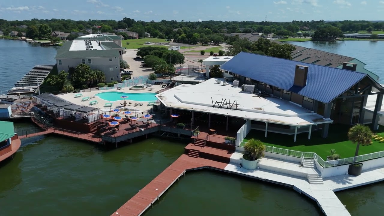
Photogrammetry
The Wave Circle Around
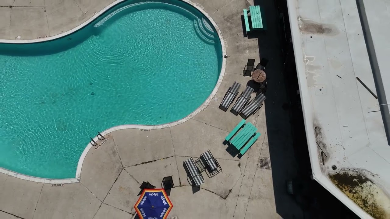
Structural Survey
The wave fly up and above
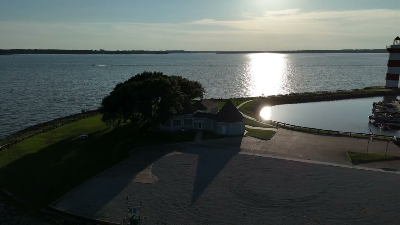
Data Mapping
Harbor town venue
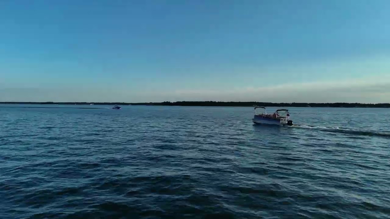
Photogrammetry
Boat follow
Ready to digitize your assets?
Get centimeter-accurate data delivered safely, rapidly, and reliably.
REQUEST AN INSPECTION QUOTE